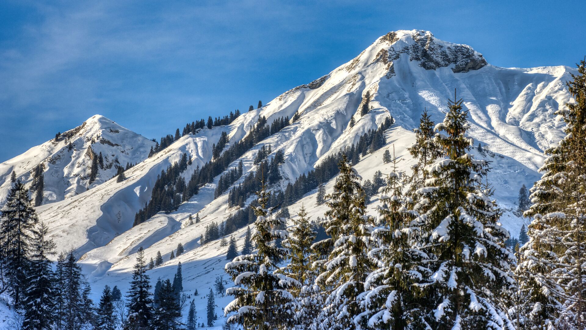
Rether Kopf (1,924m)
Important Infomation
🏀
Route Time Total
03:50 h
🔖
Route Length
7 km
🜏
Elevation Gain
1000 hm
🞽
Difficulty
Hard
Elevation Profile
Description
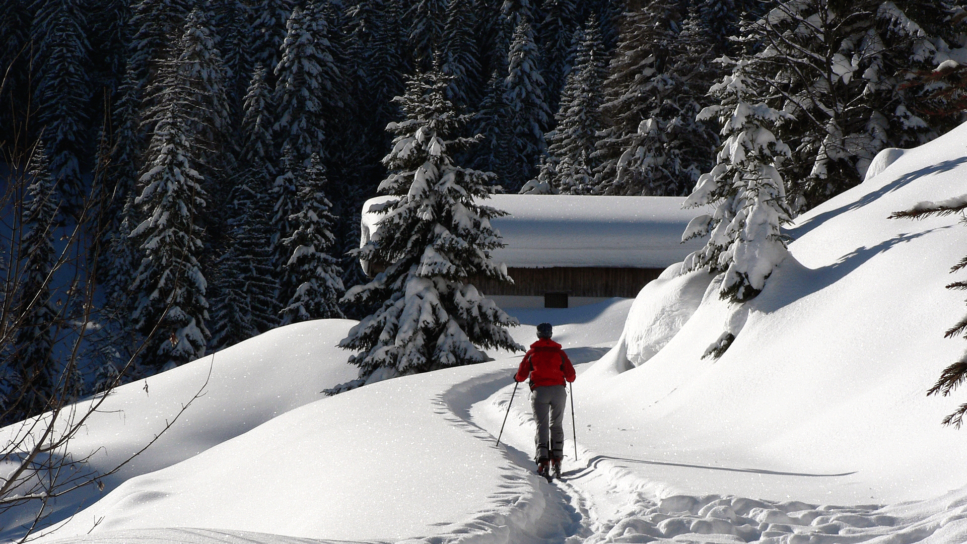
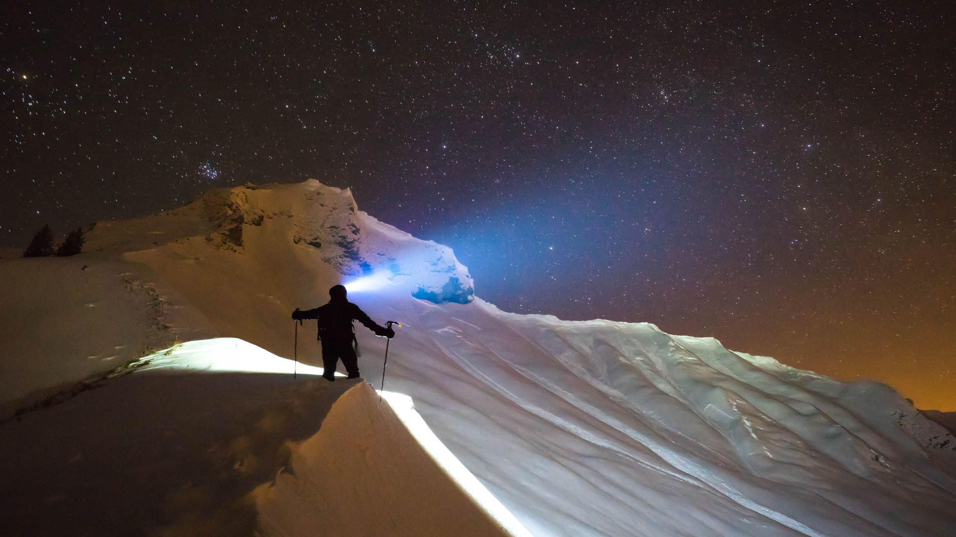
Overall character: Ski tour through the Unterautal valley with a steep, demanding final section. The summit slope is often prone to avalanche.
Ascent: From the avalanche beacon checkpoint Unterautal, follow the winter hiking path to the Hochstegalm (1,159m) and to the junction Gröbenalm (1,540m). From there, the route leads to the right over steep slopes to the eastern ridge of the Rether Kopf (1,700m) and to the eastern flank. Climb uphill taking steep turns past the summit rock into a small wind gap in the northern ridge and continue to the summit of the Rether Kopf.
Descent: Alongside the ascent route
Back