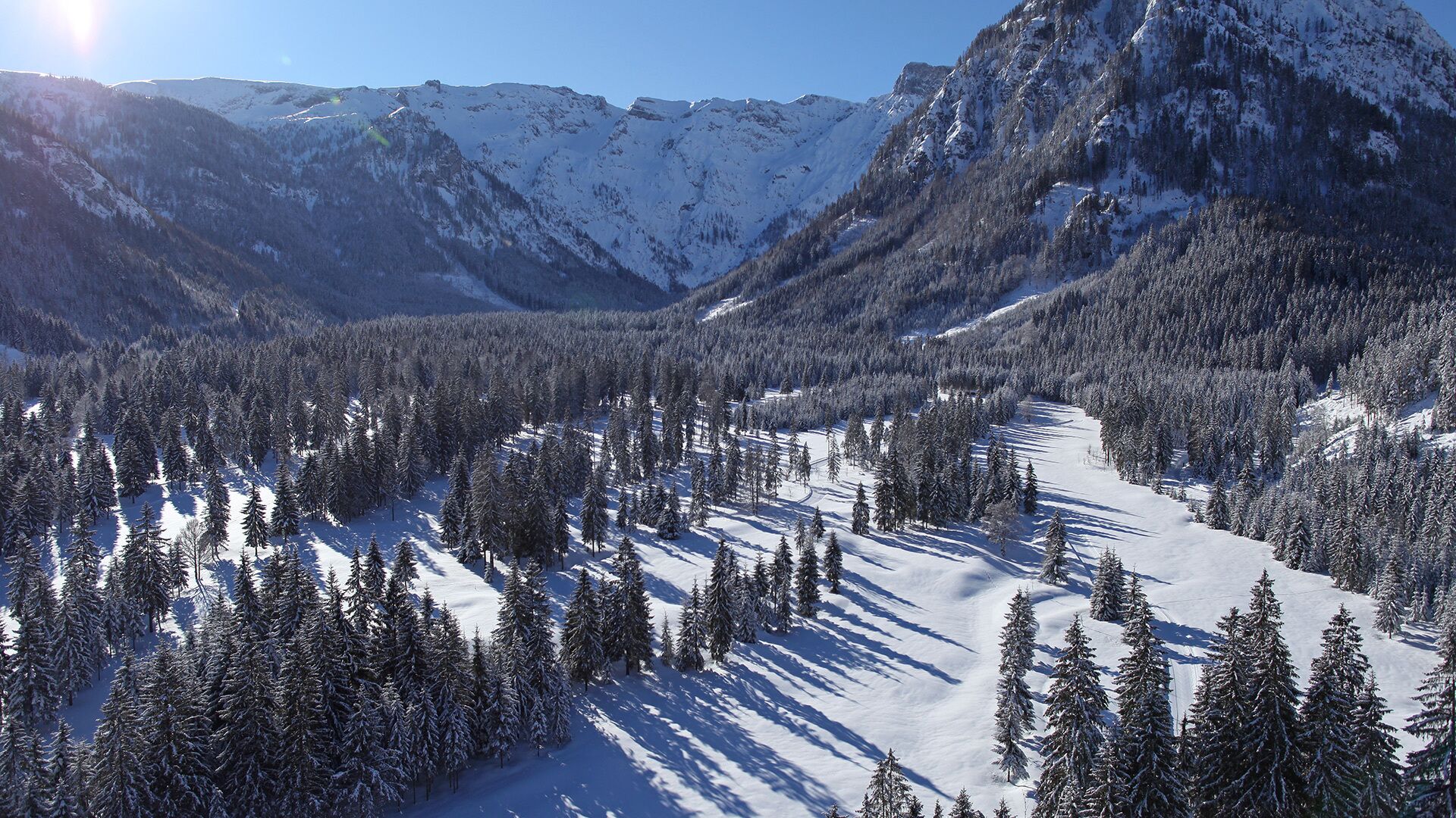
Pertisau - Tristenautal - Pertisau
Important Infomation
🔖
Route Length
6.5 km
🜏
Elevation Gain
125 hm
🞍
Highest Point
1100 hm
🔲
Elevation Loss
125 hm
🏀
Route Time Total
01:45 h
🞽
Difficulty
Easy
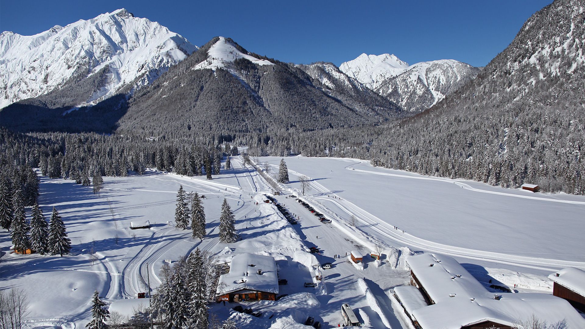
Starting Point: Pertisau, car park Karwendeltäler (cross-country skiing centre)
End Point: Pertisau, car park Karwendeltäler (cross-country skiing centre)
Route Type: Roundtrip
Elevation Profile
Description
This loop trail starts at the cross-country skiing centre at the entrance to the Karwendel valleys in Pertisau. Turn left and walk in the direction of the Falzturnalm mountain hut. Turn left after ca. 100 m and follow the trail through the Tristenautal valley. At the end of the trail, you will be back in Pertisau close to the valley station of the Karwendel cable car.
Back