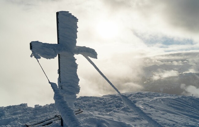
Juifen (1,988m)
Important Infomation
🏀
Route Time Total
03:30 h
🔖
Route Length
7.5 km
🜏
Elevation Gain
1050 hm
🞽
Difficulty
Easy
Elevation Profile
Description
Overall character: Long but easy ascent and descent. Very popular tour.
Ascent: From the car park (avalanche beacon checkpoint), climb over the hill in a southerly direction to the Falkenmoosalm forest road. Follow this road and at the first right bend, head to the left and follow the summer hiking path. At the edge of the forest, climb up to the Falkenmoosalm (1,328m) on open meadows. To the west at an elevation of 1,500m, follow the path under the Hochplatte, then turn right to the Großzemmalm and behind the moun-tain huts walk to the ridge of the Marbichler Spitze. Cross the Marbichler Joch and climb over the south-eastern ridge to the summit.
Descent: Alongside the ascent route
Back