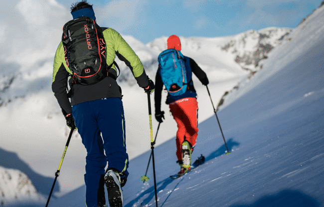
Gröbner Hals (1,654m)
Important Infomation
🏀
Route Time Total
02:30 h
🔖
Route Length
6.5 km
🜏
Elevation Gain
700 hm
🞽
Difficulty
Easy
Elevation Profile
Description
Overall character: Leisurely tour through the Unterautal valley
Ascent: The tour starts at the avalanche beacon checkpoint Unterautal and follows the win-ter hiking path to the Hochstegenalm (1,159m) and continues to the Gröbenalm (1,540m) and to the saddle of the Gröbner Hals.
Descent: Alongside the ascent route
Back