Eagle Walk Stage 03: Hintersteinersee - Kufstein
Important Infomation
🔖
Route Length
9.5 km
🜏
Elevation Gain
730 hm
🞍
Highest Point
1463 hm
🔲
Elevation Loss
460 hm
🏀
Route Time Total
03:30 h
🞽
Difficulty
Medium
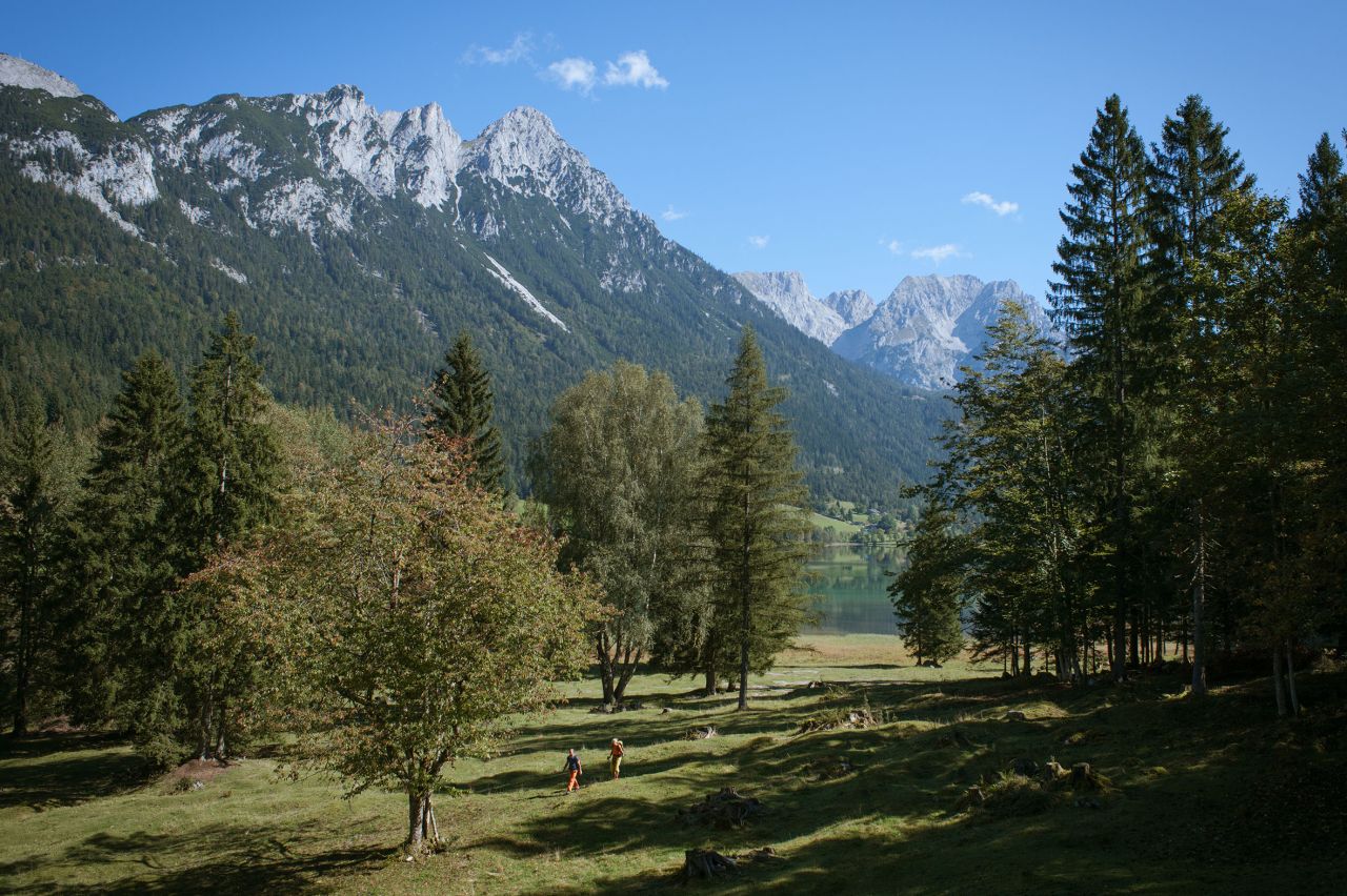
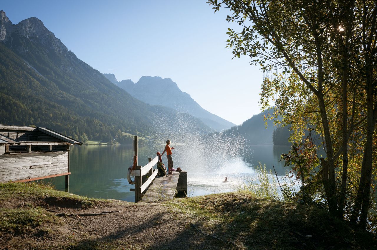
Starting Point: Hintersteiner See
End Point: Kufstein
Elevation Profile
Description
trail description: Starting at the car park of Seestüberl Café, skirt the lake’s south shore along Trail No. 822 towards “Biobauernhof Pension Maier”. Pass the farm to the right and head northward at the car park where the broad and private access road to Walleralm Alpine Pasture Hut begins. Follow this signed (No. 45) road northward, passing Schafberg Mountain to your left and uphill through forest until you reach the wide open world of Alpine pastures. Follow the road to the tiny settlement of Walleralm and Walleralm Mountain Inn. A stop at Walleralm Mountain Inn is strongly recommended. Once you are replete and refreshed, walk along the way-marked footpath to Kaindl Hut that has its trailhead behind the mountain inn.
An easy climb through wooded areas takes you to Hochegg with a final steep grade bringing you to the summit cross on its grassy top (1,470m). Catch your breath and scan the horizon. How many of the summits of Zahmer Kaiser Range can you identify? From the top, it’s a gentle downhill stroll over wide open meadows until you reach the Alpine Pasture Village of Steinbergalm and Kaindl Hut. Past the hut, a forest road takes you down through Alpine pastures leading past (closed) Steinberg Hut. There is a short ascent towards Brentenjoch Col. Bear left and follow the signed track to the top terminal of Wilder Kaiser Chair Lift. The two-section lift ride takes you down to Sparchen, a district of Kufstein. There is an optional walk via Aschenbrenner, where you may follow scenic Panorama Trail down to Kufstein.
Back